| |
Click
on the thumbnails for a larger view |
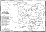 |
1832-1858
Wisconsin, Iowa and Minnesota Map |
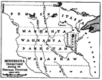 |
1849
- 1851 Minnesota Map. Lake of the Woods was then part of Pembina. |
| |
|
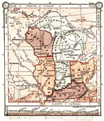 |
1884
Midwest Map |
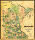 |
1884
Minnesota Map |
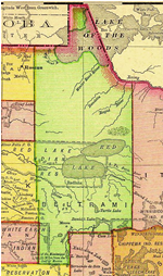 |
1895
Beltrami County Map (Clearwater is the SW part of Beltrami County) |
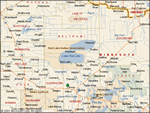 |
Beltrami,
Clearwater and area Counties map |
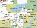 |
Beltrami
County area map |
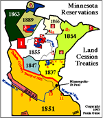 |
Minnesota
Indian Reservations Map |
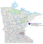 |
Requires
Adobe Acrobat to view |
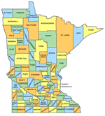 |
Map
of Minnesota Counties and County Seats |
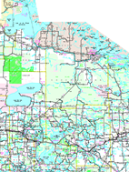 |
North
Central Minnesota - Requires Adobe Acrobat to view |
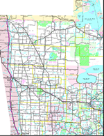 |
Northwest
Minnesota - Requires Adobe Acrobat to view |